Point
Overview and Key Concepts
Points are used to define locations in geographic coordinates. When connected, they create routes, which can be used by task executers to travel between points using the GIS Navigator.
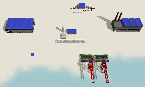
The actual point objects are hidden within the GIS Navigator. Map objects draw shapes representing these point objects. You modify the point's properties by clicking on its shape on a map. A point may be drawn by zero, one, or more maps.
A point's size and rotation are used when drawn by a map. A point's cartesian location is not used when drawn by a map. Instead, it is positioned based on its geographic latitude and longitude properties.
States
The point does not implement states.
Statistics
The point does not track any statistics.
Properties Panels
The Point object uses the following properties panels:
Properties
The Point object uses the following properties:
| Property | Type |
|---|---|
| DrawPoint | Boolean |
| Latitude | Number |
| Longitude | Number |