Map
Overview and Key Concepts
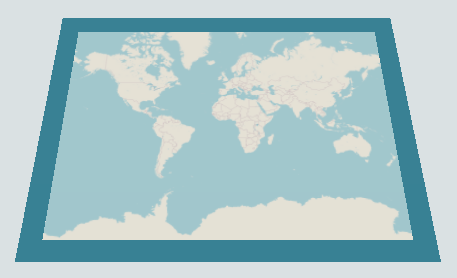
Maps are used to show geographic information in latitude and longitude coordinates. They draw flat textured tiles using a Mercator projection. Map tile textures are downloaded from a tile server using the URL specified on the GIS Navigator.
GIS points, routes, and travelers are drawn by maps. A model may contain multiple maps that may draw zero, one, or more representations of points, routes, and travelers in the model. The maps themselves do not contain the other objects; they simply draw lines and shapes representing the location of other objects in geographic coordinates.
States
The map does not implement any states.
Statistics
The map does not track any statistics.
Properties Panels
The Map object uses the following properties panels:
Properties
The Map object uses the following properties:
| Property | Type |
|---|---|
| EditMode | Boolean |
| Latitude | Number |
| Longitude | Number |
| Zoom | Number |
| DrawBorder | Options |
| ScaleFactor | Number |
| MinScale | Number |
| MaxScale | Number |